History buffs can navigate to the British Library’s online collection to explore a stunning array of archival maps, architectural drawings, and other geographical treasures.
The library’s digitization team has worked for seven years to make the Topographical Collection of King George III freely accessible to all online. The materials depict cities, islands, and oceans around the world and date from 1500 to 1824. While we may not be able to travel during COVID-19, collections like this one are a powerful way to explore the world around us while staying safe at home.
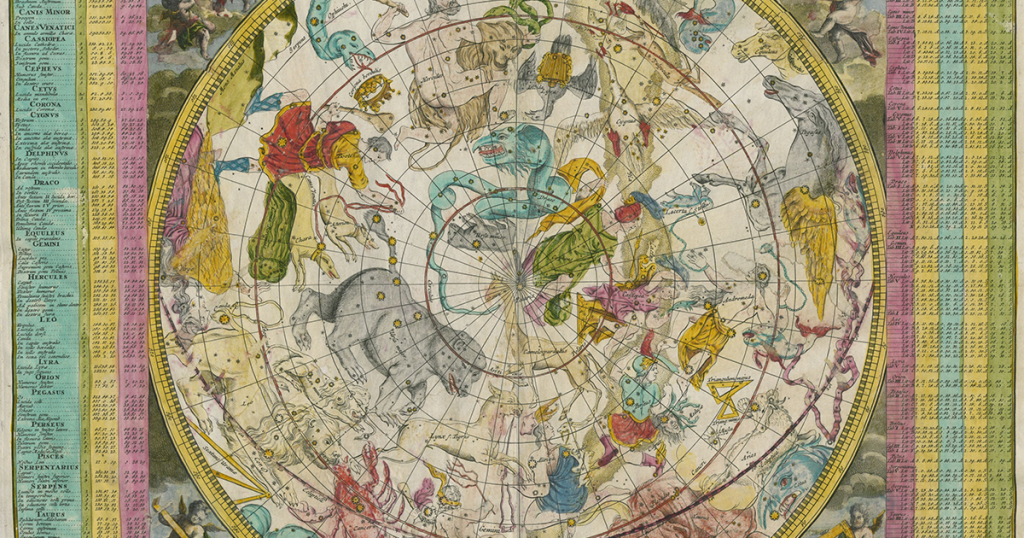
Highlights include a 17th century hand-drawn map of New York City, early architectural drawings of renowned British architecture, and lushly illustrated maps of the solar system. You can discover and download the thousands of images from the British Library Flickr page. Scrolling through the images will take you on a fascinating journey through history and science.
The images are copyright-free, which means designers and artists can use them in their creations without restriction. You can also print your favorite maps to display in your home—a great way to decorate blank walls while on a budget.
“This is a momentous and intriguing set of early maps and views which provides multiple windows into the world of previous centuries,” Tom Harper, the library’s lead curator of antiquarian mapping, shared in a press release. “We’re pleased to have been able to make this outstanding collection available through cataloguing and digitization and to enable aspects of Britain’s past to be more fully understood.”
For more amazing resources from the world’s libraries, subscribe to the I Love Libraries newsletter.